Hawaii Flooding: Rain Bomb Stuns Oahu and Meteorologists
A sudden rain bomb dumped up to 6 inches in Manoa Valley, flooding streets and homes near Honolulu and catching even weather forecasters off guard.
Crews fanned out across Oahu on Tuesday to assess the scale of destruction after a sudden, ferocious downpour transformed streets in Manoa Valley into raging rivers, sweeping parked cars off roads and pushing floodwaters into homes and businesses just miles from downtown Honolulu.
The storm caught nearly everyone off guard, including the scientists whose job it is to see these events coming.
National Weather Service forecaster Cole Evans said his team knew that lingering instability from a powerful winter storm system called a “Kona low” could still produce rain. But their models struggle to predict just how much moisture can remain trapped in such systems. “When you think it’s over, it’s not quite over,” Evans said Tuesday.
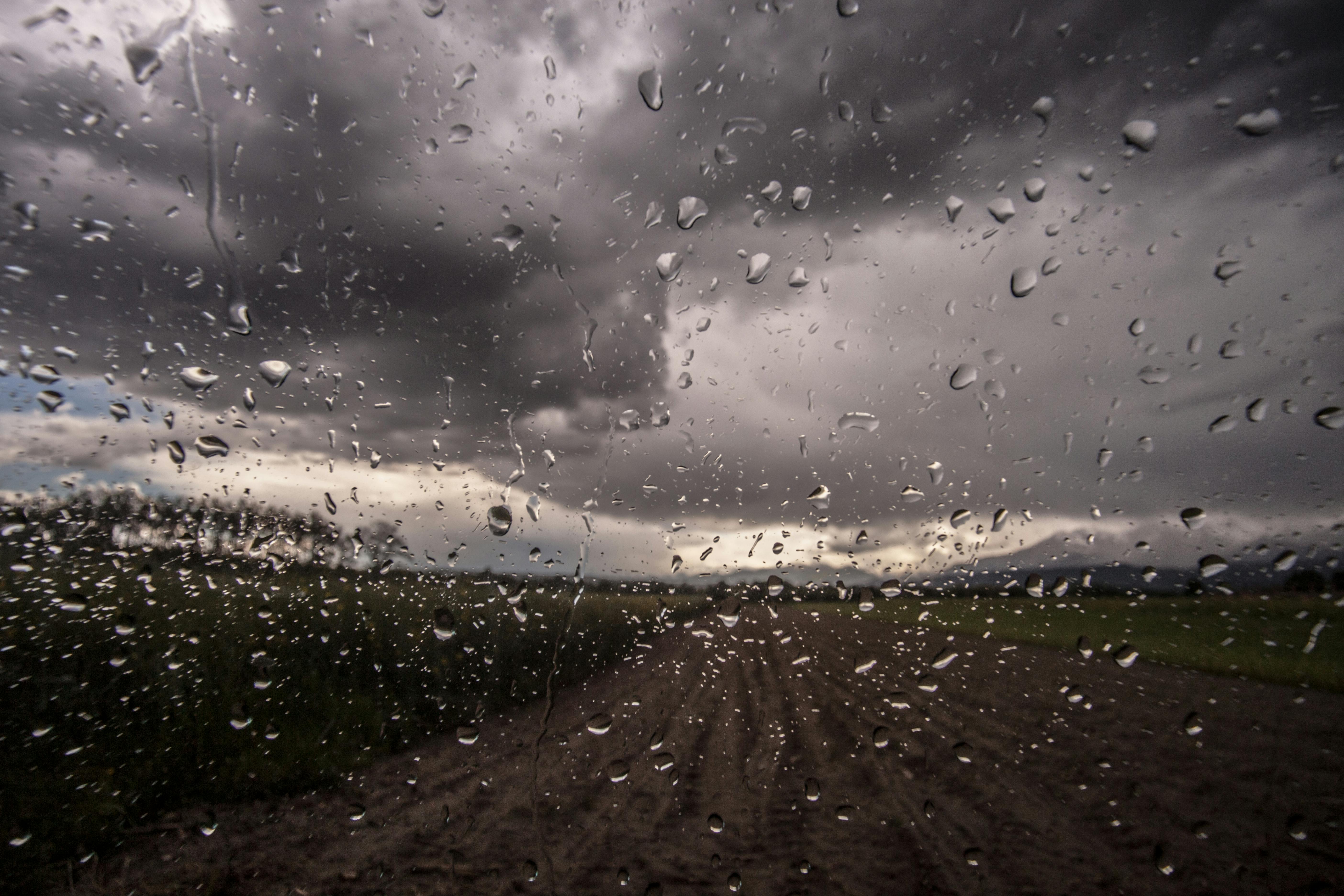
The downpour dumped 2 to 4 inches of rain per hour at its peak. One rain gauge in the upper part of Manoa Valley recorded 6 inches total, while the airport just a few miles away received less than a millimeter. That kind of hyper-localized intensity is what made the event so dangerous and so difficult to anticipate.
Honolulu Mayor Rick Blangiardi described it bluntly as a “rain bomb.” He told reporters that earlier Monday, the skies over Honolulu were sunny. “We had no warning,” he said as he toured the damage Tuesday.
Residents shared the same stunned reaction. Andrew Phomsouvanh recorded video of streets in his neighborhood churning with reddish-brown floodwater and said he could not believe what he was seeing. “The water just keeps coming,” he said.
Maile Mills watched from her Manoa office as floodwaters climbed to the door handles of her Honda Civic, which she had parked on the street outside. There was nothing she could do. The water pushed the car onto the curb, and silt and muddy water filled the interior and engine compartment. The car was totaled. “It looked like rubber ducks in a pond,” Mills said. “All the cars started to float.”
Monday’s disaster did not arrive in isolation. It struck while residents on Oahu’s North Shore were still cleaning up from what authorities described as the worst flooding to hit Hawaii in two decades. That earlier flooding, which struck last week, came after heavy rains fell on soil already saturated from a storm the week before. Hundreds of homes were damaged. More than 230 people required rescue. Floodwaters pushed houses off their foundations, floated cars from parking spots, and left thick layers of reddish volcanic mud coating walls, floors, and counters throughout affected neighborhoods.
Evacuation orders covered roughly 5,500 people north of Honolulu. Some residents fled on surfboards. The North Shore, famous globally for its towering winter waves, had never anticipated becoming the backdrop for that kind of escape.
As of Tuesday, there were no reported deaths or serious injuries from Monday’s Manoa flooding, though damage assessments were still underway. The Kona low was moving off to the east, Evans said, reducing the risk of additional rain bombs hitting Oahu. Flood watches remained in effect for parts of Maui and the Big Island.
The sequence of events over the past two weeks raises serious questions about infrastructure resilience and emergency preparedness on a chain of islands where rainfall can shift dramatically over short distances. South Florida residents know this dynamic well. Miami-Dade and Broward counties have spent years grappling with localized flooding that can submerge one street while leaving the next one dry, a product of aging drainage systems and intensifying storm events. Hawaii is confronting a version of the same problem, compressed into a series of punishing weeks.
What stands out in this latest Hawaii disaster is the forecasting gap. Evans acknowledged that the models fell short. That kind of candor from a meteorologist matters because it points directly at where investment and research need to go. Communities cannot evacuate or prepare for events that the warning systems cannot detect in time.
For now, Honolulu is counting damage and drying out. Whether state and local officials treat this stretch of storms as a wake-up call or a one-time anomaly will determine how prepared Hawaii is when the next Kona low decides it isn’t quite finished.